San Juan Bautista Tuxtepec (Nahuatl: "on the hill of rabbits"), or simply referred to as Tuxtepec, is the head of the municipality by the same name and is the second most populous city of the Mexican state of Oaxaca. It is part of the Tuxtepec District of the Papaloapan Region. As of the 2005 census, the city is home to a population of 94,209 and 144,555 in the municipality (0.979% of the state population), though census data are often under reported for various reasons. The municipality resides in the region called La Cuenca (Spanish for “The Basin”), is located 36 feet above sea level, and occupies an area of approximately 580 mi2. The city itself is surrounded by the Papaloapan River, and lies a few kilometers south of the Cerro de Oro Dam on its tributary the Santo Domingo River. The municipality is bordered by the state of Veracruz in the north and the town of Loma Bonita to the south. It is almost 100 miles to the port of Veracruz, 130 miles to Oaxaca City, the state capital, and 310 miles to Mexico City.
Extreme weather in China
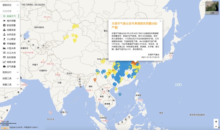
China Earthquake Information
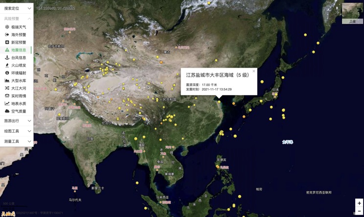
Volcano eruption
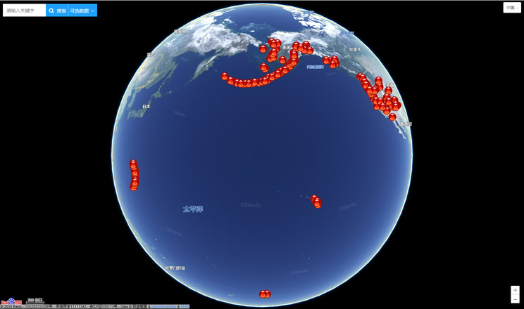
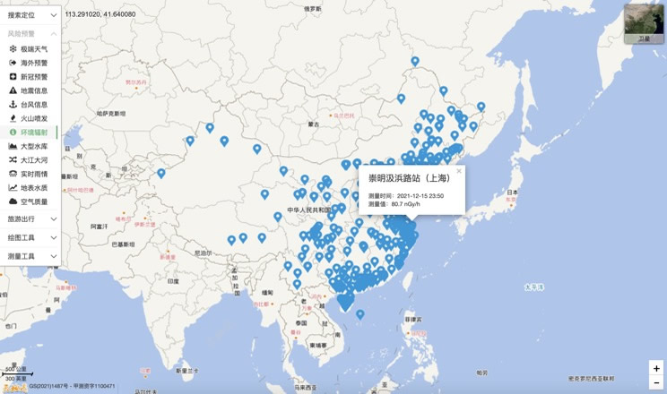
Environmental Radiation in China
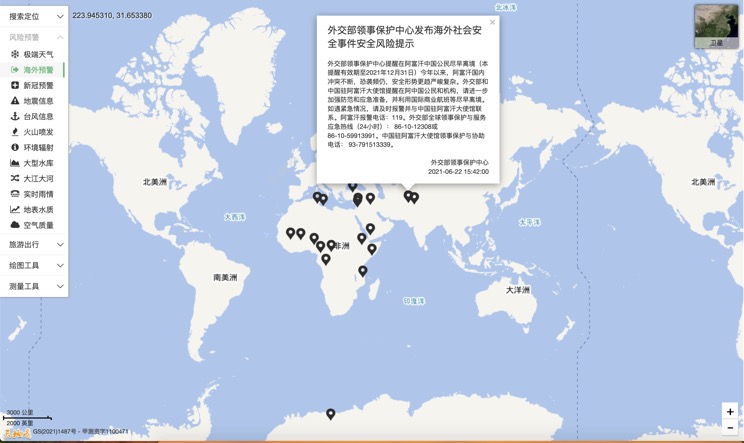
Overseas Warning
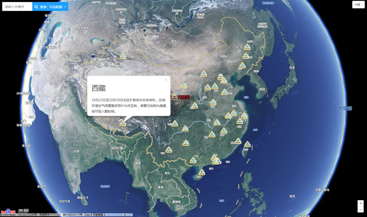
China's air quality
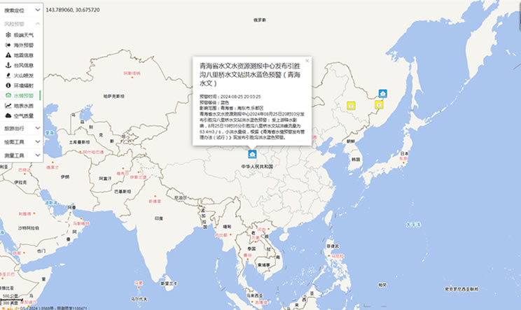
China's Water Disaster Alert
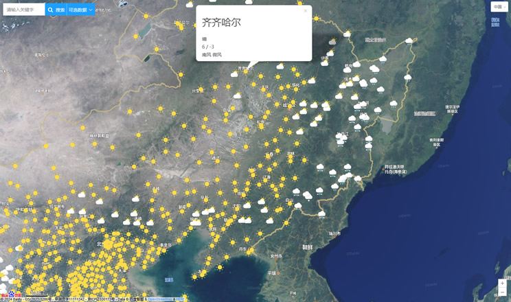
China Weather Forecast
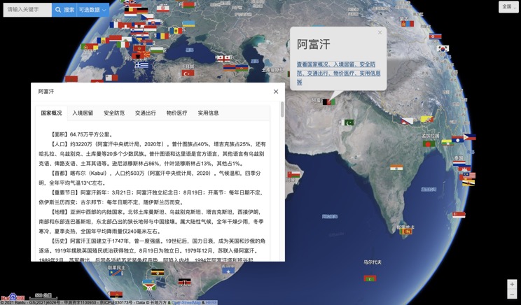
Introduction to Countries
China Subway Lines

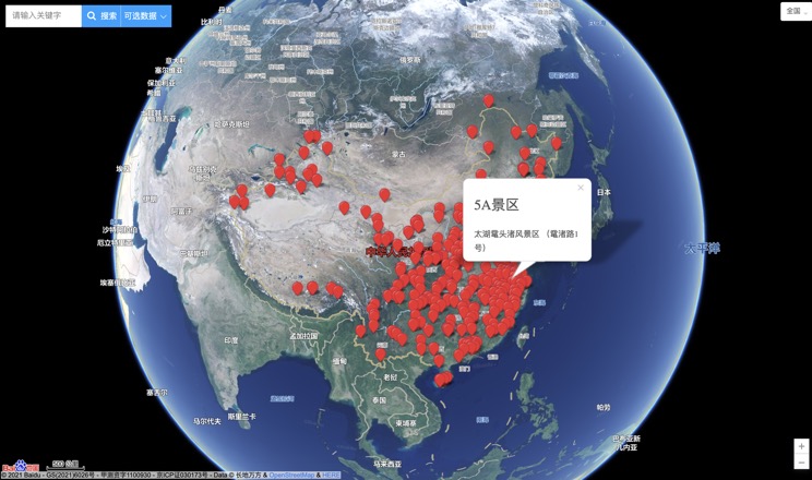
China's 5A Scenic Spots
Provincial Capitals in China
